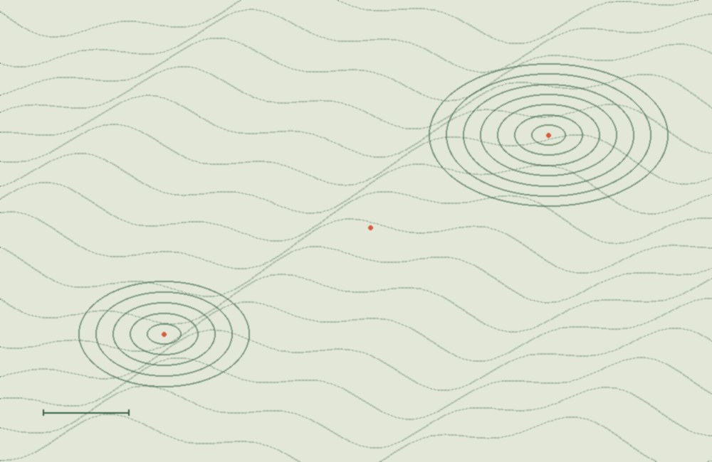
A topographic survey is an accurate representation of an area on a plan. Using conventional symbols and indicating their characteristics, the topographic plan shows all elements present in the area: natural — relief, vegetation; physical — buildings, roads, streets, ground surfaces, and above‑ground and underground utility networks. The topographic survey is coordinated with the institutions operating the engineering structures and with the municipal administration in whose territory the plan is prepared. An approved topographic survey is valid for one year. A topographic survey is prepared when planning design and construction works in the target area.